The entire West Coast is bracing for a powerful storm unlike recent years.
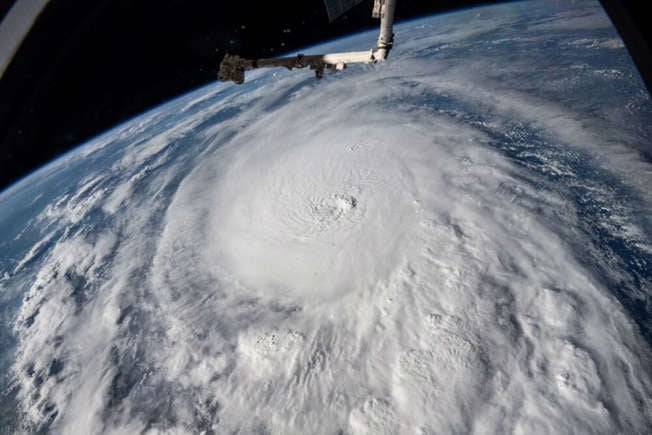
A sweeping new weather warning has been issued for the Pacific Coast, stretching from San Diego all the way to Washington State. Forecasters are calling it a “multi-impact system,” capable of bringing heavy rain, strong winds, and dangerous surf to millions of residents.
The storm is expected to move inland quickly, disrupting travel and flooding low-lying areas. Meteorologists are urging residents to stay alert as the forecast continues to shift with each passing hour.
1. High winds could cause widespread power outages.
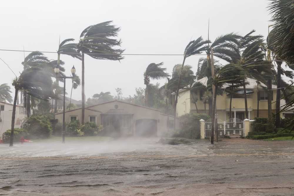
Wind gusts topping 60 miles per hour are forecast for coastal and mountain areas, with some regions facing even stronger bursts. These conditions are expected to down trees, damage power lines, and make driving hazardous—especially for high-profile vehicles on exposed highways.
Utility companies are warning customers to prepare for extended outages by charging devices and securing outdoor items. High winds are often underestimated, but even short bursts can send debris flying, create road hazards, and leave neighborhoods in the dark for hours or days.
2. Coastal flooding will threaten low-lying neighborhoods.
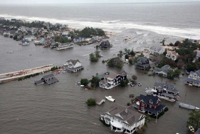
Tidal surges combined with heavy rainfall could flood coastal areas along California, Oregon, and Washington. Storm drains are already clogged in some cities after recent rain, heightening the risk of flash floods. Beachfront homes, boardwalks, and piers are expected to take the hardest hit.
Officials are urging residents in flood-prone zones to have sandbags ready and avoid driving through standing water. Even a few inches can cause vehicles to stall or wash away. Local crews are on standby as emergency services prepare for potential evacuations in the worst-affected areas.
3. Heavy rain could trigger dangerous mudslides.
Southern California’s burn scars are especially vulnerable as the incoming storm saturates the soil. The combination of steep terrain and relentless rain can quickly turn small hillsides into rivers of mud. Areas near Malibu, Santa Barbara, and Ventura are on high alert for debris flow.
Residents in hillside communities are encouraged to monitor alerts and prepare go-bags in case they’re asked to evacuate. Even well-built retaining walls can fail under sudden water pressure, making landslides unpredictable and deadly. Officials stress that moving early is always safer than waiting for visible signs of danger.
4. Mountain passes will face snow and whiteout conditions.

While coastal areas deal with rain, higher elevations in the Sierra Nevada and Cascades are bracing for several feet of snow. Whiteout conditions will make driving nearly impossible on major passes like Donner Summit and Snoqualmie. Authorities are already planning road closures as conditions deteriorate.
Travelers are urged to check forecasts and carry tire chains or emergency supplies if heading into the mountains. The combination of snow, wind, and freezing temperatures can trap drivers for hours. Even seasoned locals are being advised to avoid unnecessary travel until the system passes.
5. Travel delays are expected across airports and highways.
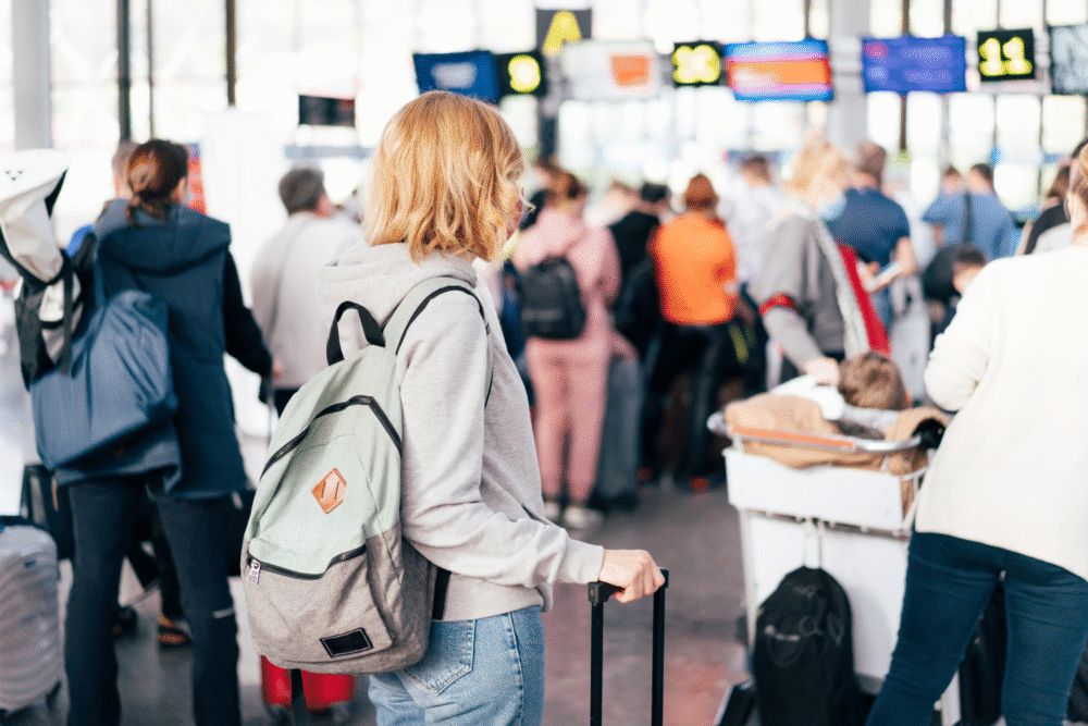
The storm’s reach is expected to disrupt flights throughout major airports, including LAX, Portland, and Seattle-Tacoma. High winds and poor visibility will lead to cancellations and diversions, especially during peak travel hours. Roadways may also face closures due to flooding and debris.
Travelers should check for updates before leaving home and expect longer lines at terminals as airlines rebook delayed passengers. Those driving should pack extra water and blankets in case of unexpected detours. Delays may cascade across the country as the system moves inland.
6. Dangerous surf and rip currents will close beaches.
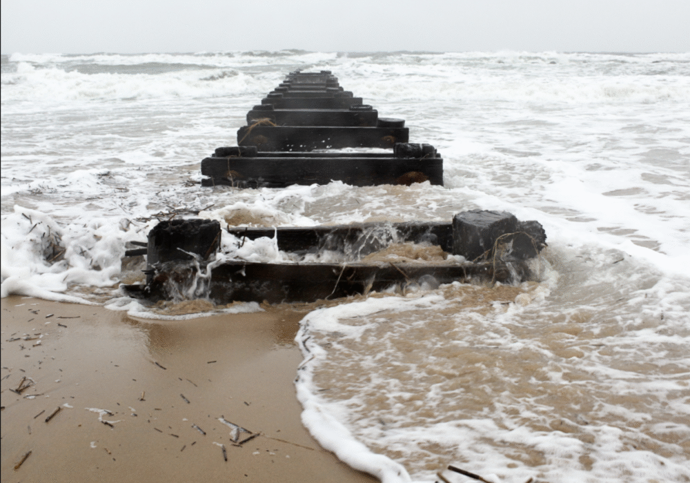
Beaches along the Pacific Coast are facing waves reaching up to 20 feet in some regions. These massive swells, combined with powerful rip currents, have prompted lifeguards to close many popular coastal access points. Even experienced surfers are being warned to stay out of the water.
Officials stress that conditions can change rapidly, with rogue waves capable of sweeping people off rocks or piers. Coastal photography, tide pooling, and jogging near shorelines should all be avoided until the storm subsides. It’s simply not worth the risk.
7. Urban areas may experience flash flooding.

Downtown cores like Los Angeles, San Francisco, and Seattle are expected to see significant rainfall over a short time. With concrete surfaces limiting absorption, stormwater will pool quickly, flooding underpasses and intersections. Public transit could also face disruptions due to waterlogged tracks or electrical faults.
City officials are urging residents to clear storm drains near their homes and avoid unnecessary driving. Commuters should plan for detours or delays, especially during morning and evening rush hours. Flash floods can develop faster than most people expect, leaving little time to react.
8. Emergency shelters are opening across the coast.
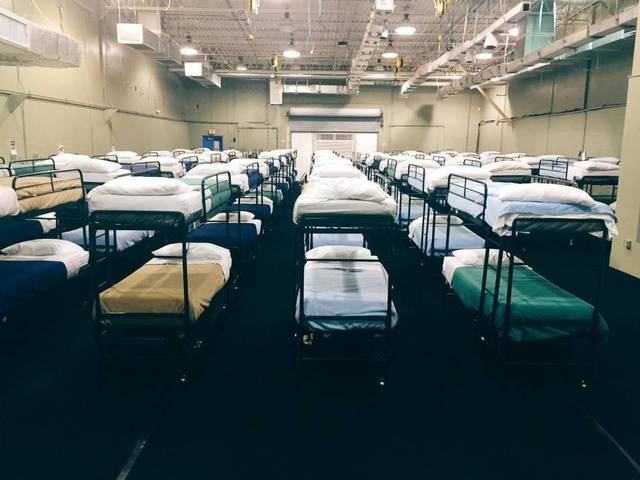
In anticipation of power outages and possible evacuations, emergency shelters have begun opening in affected counties. These centers offer food, temporary housing, and updates for those displaced by flooding or landslides. Local governments are coordinating closely with the Red Cross to provide rapid support.
Residents are encouraged to keep essential documents, medications, and phone chargers ready in case relocation becomes necessary. Even short-term stays can be stressful, but shelters offer warmth and stability during volatile conditions. Officials emphasize that early arrival ensures better access to resources.
9. Agricultural regions could face severe crop damage.

Central California’s farms, already vulnerable after a dry summer, could see significant damage as rain saturates fields. Excess moisture and flooding can destroy crops or make soil unstable for planting. In the Pacific Northwest, strong winds threaten orchards and greenhouses.
Farmers are working around the clock to reinforce irrigation channels and protect equipment. Agricultural losses from a single storm can ripple through the economy for months, affecting food prices and supply chains nationwide. It’s a reminder of how deeply weather events shape both local and national markets.
10. Power crews and first responders are on high alert.
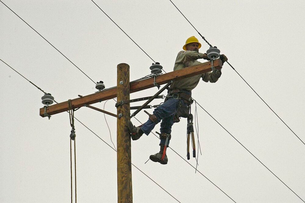
Utility workers across the West Coast are preparing for a surge in emergency calls as outages and damage reports increase. Many crews are pre-positioned in vulnerable regions to restore power faster once conditions improve. Coordination between states has ramped up to ensure shared resources if needed.
First responders are also bracing for an influx of distress calls tied to downed trees, traffic accidents, and flooding rescues. These workers often face the same hazards as the public, yet they remain on duty around the clock. Their efforts will be critical in keeping communities connected and safe.